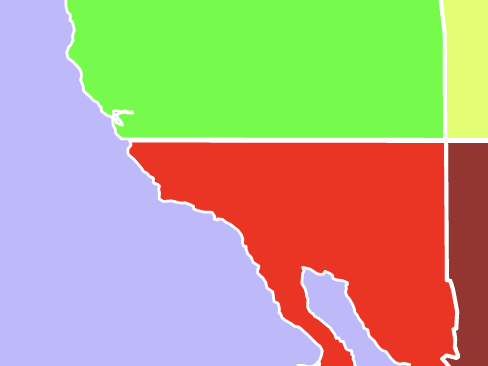
The Armistice Line is the border between the Independent Sovereignty of Cascadia and the Waka-Krangere of Australia’s North American territories. The line extends along the parallel of 36° 59′ 56.32″ N.
The line is the location of the Long Wall, which separates the two territories and was built in the early 1700s and finished in 1717.
As with all things arbitrary, the creation of the line split communities and families on either side of the border.