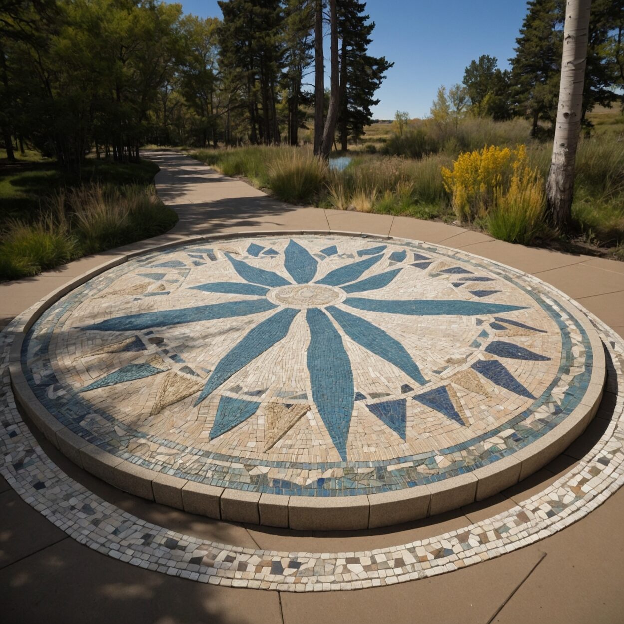
Four Corners commonly refers to the meeting point between the territories of the Empire of Australia, the Independent Sovereignty of Cascadia, the Republic of Louisiana, and the Sioux Nation at 36° 59′ 56.32″ N, 109° 2′ 42.67″ W on the North American Continent.
The boundaries of the four nations at this meeting point were decided at the end of the War of the Seven Nations.
The site is the location of a Peace Park commissioned jointly by the Sioux Nation and Cascadia and approved by the other two nations. It represents one of the only times when Cascadia and the Empire of Australia collaborated formally since Cascadia’s independence in 1667.

